Weston Turville Map
Map of Weston Turville - Here is a location map for Weston Turville near Aylesbury, Buckinghamshire UK.
Map of Weston Turville Aylesbury
Weston Turville Map: Above you can view a map of Weston Turville located to the south-east of Aylesbury, Buckinghamshire.
Visible on this Weston Turville map are: Weston Turville Golf Club, Aylesbury Rugby Club, Weston Turville Church of England School, Bye Green, the Chequers Inn, the Five Bells, Westend Ditch, Marroway, RAF Association Club, World's End Lane, Wendover Road, Church Lane, Church Walk, School Lane, Bakers Walk, Brook End, New Road and more.
Use zoom in (+) for more detail of Weston Turville village. Zoom out for a wider view of the areas surrounding Weston Turville. Click on the small box (bottom right) for a satellite view of Weston Turville, Buckinghamshire.
Address: Weston Turville, Aylesbury, Buckinghamshire, HP22.
Google Street View of Weston Turville Aylesbury
Above you can see a Weston Turville street view (Google), showing the main road through the village (Main Street) as it passes the Five Bells pub and restaurant.
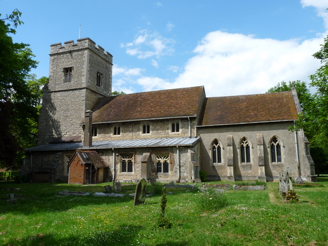
Photos of Weston Turville - St Mary the Virgin Church Weston Turville

An image of Weston Turville's St Mary the Virgin Church, taken in 2010.
More Aylesbury Maps:
- Weston Turville School
- Aylesbury Rugby Club
- The Five Bells Pub
- Map of Stoke Mandeville
- Map of Bedgrove
- Map of Stone
>>>>> BACK HOME
